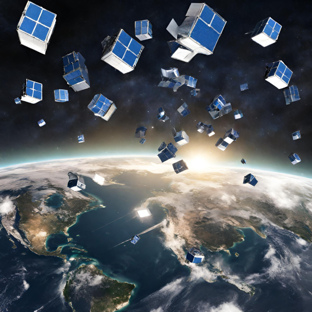
In this Thermal Lens episode, we analyse the differences between the traditional space missions designed and conducted by national agencies, and small, commercial missions associated with #NewSpace.
In recent years, the space industry made a huge step forward: new satellite constellations are created as we speak, and it is already hard to count them. Thermal space missions have long been behind in the market, but now many new missions appear as well. And now, when we have so much more data and so many more missions to choose from, do we still need the traditional agency missions? Why do agencies still create missions like LSTM, TRISHNA, and SBG, when thermal constellations are being build in parallel?
We take a deep dive into this subject with Ellis Freedman, an expert and consultant who has experience from working in large agency missions, like Landsat, as well as in small commercial missions. We analyse the differences between the sensors from commercial actors and agencies, especially with regard to what is the most important for the users: image quality and uncertainties.
This episode is the first of the two-part-episode with Ellis Freedman. In the second part, Ellis explains what differentiates a thermal mission from a mission imaging in visible spectral range, what are the main challenges in the thermal missions, and what users need to know when using thermal data. Make sure that you listen to both parts to get all the explanations and deep dive into understanding the thermal imagery!

2 responses to “Thermal Lens: From traditional space to #NewSpace”
-
Thanks so much for hosting this! I think Ellis is a rock of sense when it comes to communicating the limitations/objective tradeoffs of mission design. Some serious analogies in there ?
-
Glad you enjoyed it! Feel free to check out the rest of the episodes here – https://thosespacepeople.transistor.fm/episodes
Ad Astra,
Rachana (co-host)
-

Ellis Freedman is a physicist, and founder of Serious Science – a US based consulting company providing design and analysis support for satellite imaging systems. He has been Chief Engineer for the calibration of electro-optic sensors and the processing of raw data into imagery for large government and commercial remote sensing systems. His working experience includes working at NASA’s Landsat program. As a systems engineer, Ellis was involved in all mission aspects throughout his career. He has also served as a visiting lecturer on remote sensing payload design and IR phenomenology at Villanova University in the USA.
Find out more at http://www.serioussciencellc.com


Leave a Reply