We are publishing conference posters and presentation slides to faciliatate discussions on thermal remote sensing. Publishing the materials is only done with agreement of the authors. If you would like to publish your work, please reach out to us!
Illustration sources
Methods Land Surface Temperature (LST) from Sentinel 3a. The LST data have been downscaled using VIS/SWIR inputs from Landsat 9 and Sentinel 2a and a bottom-of-atmosphere optimal estimation methodology to refine the estimates from 1 km data to 100 m. Credits: M. Perry, C. Paton, B. Courtier, D. Ghent, NCEO, University of Leicester
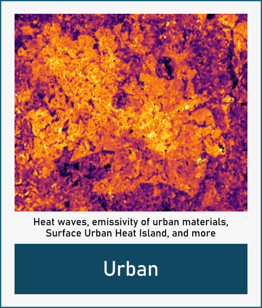
Urban LST from Landsat-8 over Birmingham, UK on 27th June 2018. Credits: C. Paton, D, Ghent, M. Perry, NCEO, University of Leicester
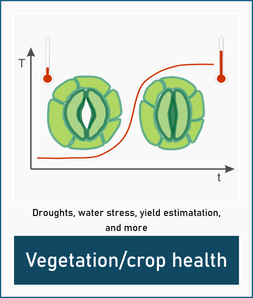
Vegetation/crop health Stomata closure due to heat stress. Credits: Agnieszka Soszynska, University of Leicester, NCEO


Leave a Reply