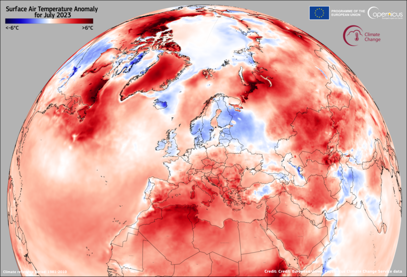
Land Surface Temperature (LST) is a vital measure derived from thermal remote sensing satellite data. In the summer of 2023, it gained attention in the media and stirred some confusion when compared to regular air temperatures.

In the first episode of the special series “Thermal Lens,” we feature Michael Perry from the University of Leicester.
During the episode, Mike explains what LST truly is, how we calculate it, and where we obtain the data. He also simplifies the various methods and algorithms used, making it easier to grasp their differences.
If you’re new to LST, this episode provides practical advice on selecting the right data for different applications.
Do you have any questions or remarks?
Mike Perry works at the University of Leicester. He has background in physics and wrote a PhD on new retrieval methods for Land Surface Temperature and Emissivity. Currently involved in the future ESA mission Copernicus Land Surface Temperature Monitoring, as well as in Sentinel-3 SLSTR.


Leave a Reply