In this Thermal Lens episode, we delve into the topic of directionality and its impact on Land Surface Temperature (LST).
Directionality occurs when an object emits or reflects radiation more strongly in certain directions than others. This can vary based on the object’s surface properties (e.g. emissivity), the relative angles of the sun and viewing directions or the atmosphere in between the surface and satellite. In this episode, Mary Langsdale from King’s College London takes us into a deep dive on directionality; what it is and its impacts on LST, how we can measure it at different scales, how we could account for it, what to look out for as a non-expert in directionality and implications on downstream products.
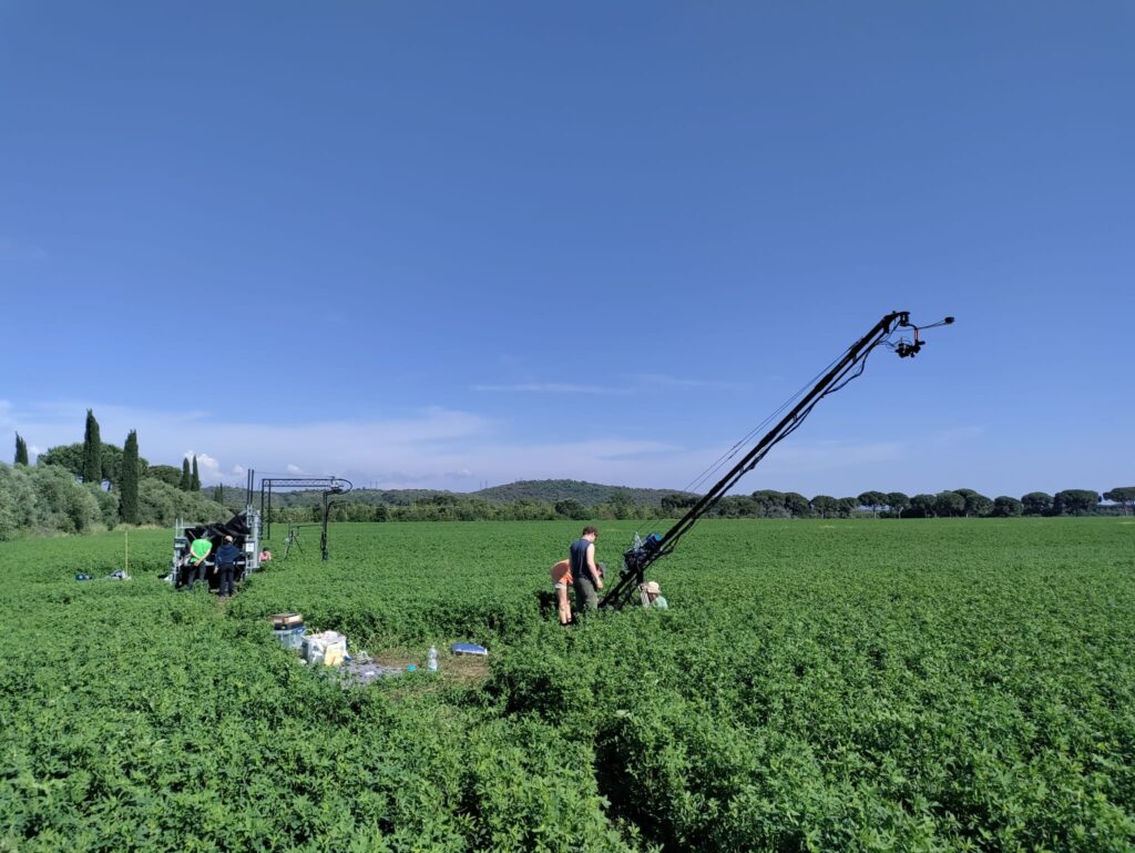
Mary also gives us some insight into a large co-funded ESA NASA campaign she helped run last year that amongst other challenges, aimed to provide extensive datasets allowing us to measure, model and account for directionality.

Mary Langsdale is an environmental scientist at King’s College London (KCL). Currently working as a postdoctoral research associate in the Department of Geography, her research focuses on understanding uncertainties in remotely sensed observations of LST.
Mary is a member of the King’s Earth Observation and Wildfire (NCEO) research group, the King’s Earth Observation and Environmental Sensing research hub, and the Geocomputation hub.
Leave a Reply